Main Menu
AORC Libraries
MEDMAPS
Dublin Core
Title
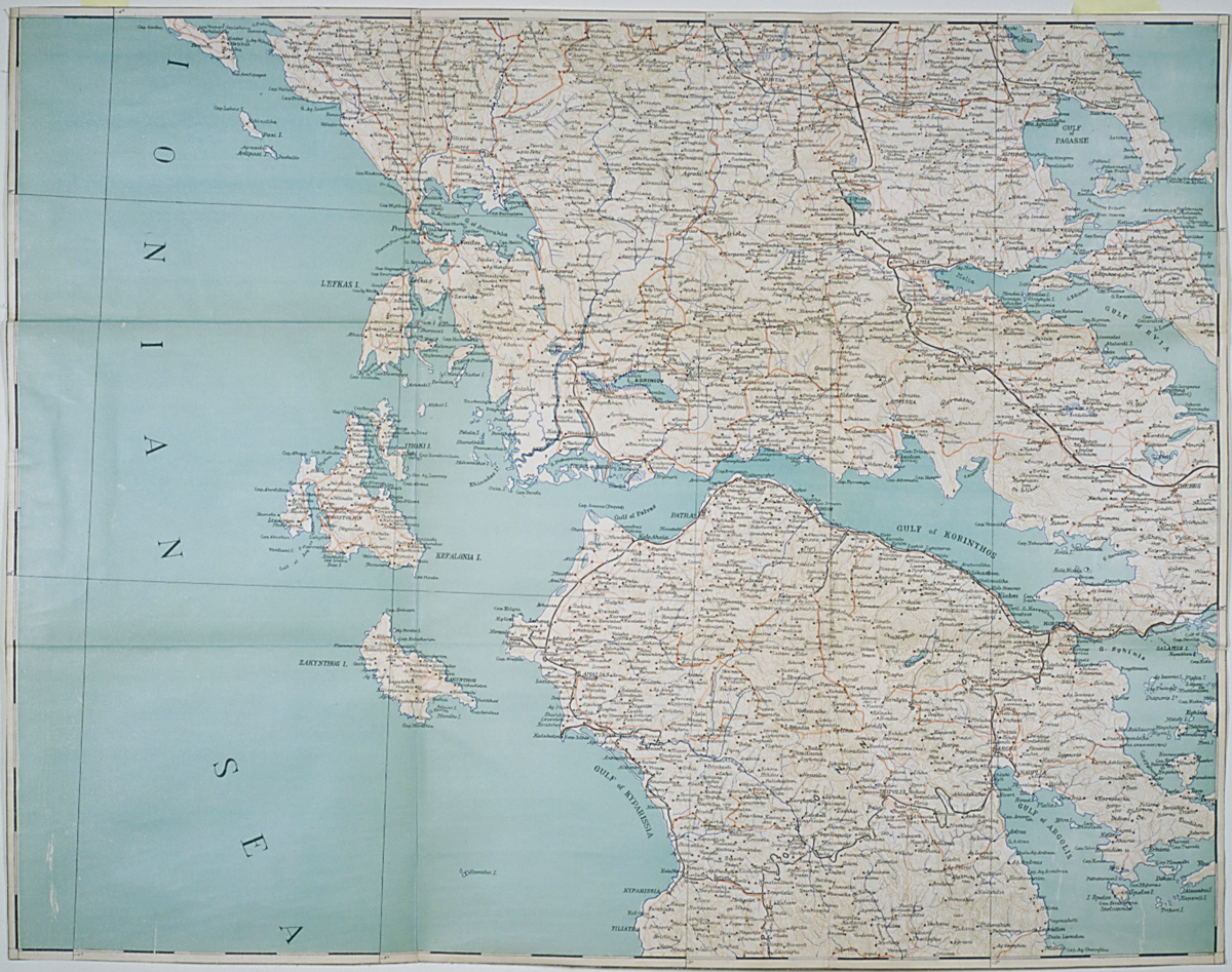
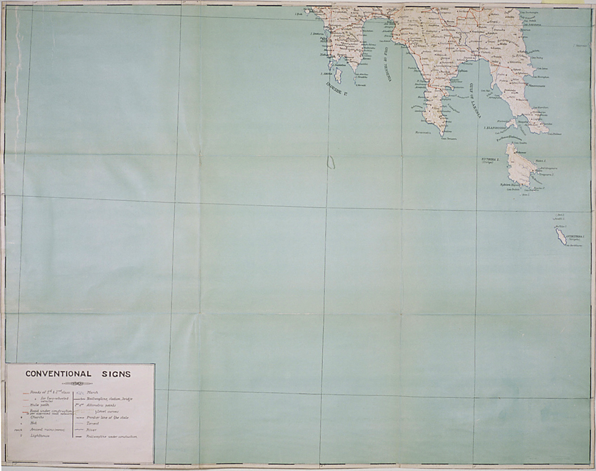
Map of Greece: geographic and altimetric
Description
Two lithographed maps from a set on six sheets by C. Grigouras.
56 x 70.5 cm. each.
Scale 1:500,000.
Designed by G. Coustas.
This map of Greece was published at a time when mapmaking was just beginning to establish itself commercially in Greece. Most of the maps of Greece that were produced in Greece itself before and even during the 1930s were produced by the Cartographic or Geographic Service of the Greek Army. Grigouras established a private cartographic survey company in Athens in the 1920s that produced map surveys of various parts of Greece. He also published a map and tourist guide of the Peloponnesus. The maps themselves were designed by G. Coustas. This attractive map in six sheets (only 2 exhibited) was given to the American Research Institute in Ankara by the archaeologist Carl Blegen, and his bookplate is on the inner portfolio. Blegen conducted excavations in various parts of Greece (Argolid, Pylos), but he is best known for the seven years he spent excavating at Troy, and the resulting eleven volume publication of his finds. He spent the latter part of his life in retirement in Athens. Interestingly enough, this map is not to be found in the Blegen Library of the American School of Classical Studies in Athens.
Publisher
Athens: C. Grigouras and C. Papamandellos, 1929.
Date
1929
Contributor
From the collection of the American Research Institute in Turkey (Ankara), M.36.
Collection
Dublin Core XML
Citation
"Map of Greece: geographic and altimetric," online in Digital Library for International Research Archive, Item #12, http://www.dlir.org/archive/items/show/12 (accessed July 22, 2026).