Main Menu
AORC Libraries
MEDMAPS
Dublin Core
Title
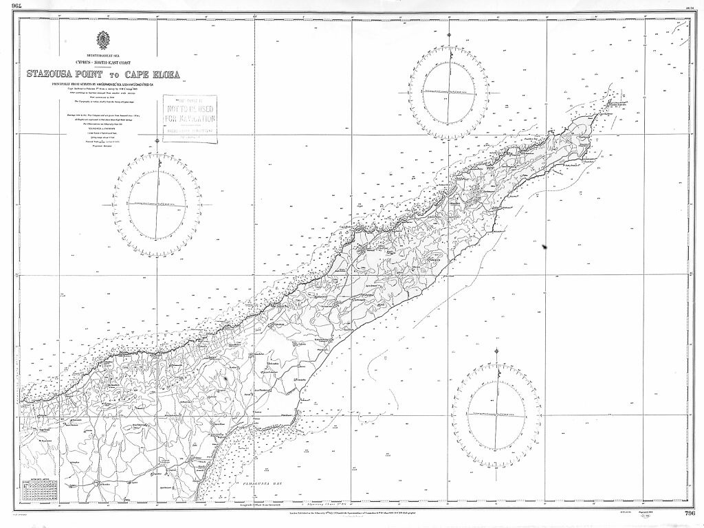
Stazousa Point to Cape Limniti and Stazousa Point to Cape Eloea
Description
Two engraved maps compiled by the Hydrographic Office of the British Admiralty.
65 x 99 cm. each.
These two charts of Cyprus form part of a collection of British Admiralty charts in the American Center of Oriental Research (ACOR) library that includes many charts of the eastern Mediterranean. A large collection of Admiralty charts is also found in the library of the American Academy in Rome. Surprisingly, the two collections have very little overlap. The charts exhibited are numbered 0776 and 0796 and depict most of the northern coast of Cyprus. Historically, the northern coast of Cyprus was only vaguely delineated in the early charts of the island because shipping moved along the southern coast where the major ports of the island were located.
The first scientific hydrographic survey of Cyprus was carried out by Captain Thomas Graves for the British Admiralty in 1849, and his chart of Cyprus was published in 1851. All subsequent charts of Cyprus are based on Graves’s survey, with corrections. When Cyprus came under British control in 1878, an official circumnavigation of the island was made, and it was decided that Graves’s charts, made thirty years earlier, required little amendment. The present charts are still based on Graves’s measurements. They are two of the three charts that delineate the north coast of Cyprus in great detail.
Bibliography
Navari, L., editor. Maps of Cyprus from the collections of the Bank of Cyprus Cultural Foundation, Nicosia, 2003.
Publisher
London: Hydrographic Office, British Admiralty, 1953-1957.
Contributor
From the collection at the American Center of Oriental Research (Amman, Jordan), M.81.
Collection
Dublin Core XML
Citation
"Stazousa Point to Cape Limniti and Stazousa Point to Cape Eloea," online in Digital Library for International Research Archive, Item #16, http://www.dlir.org/archive/items/show/16 (accessed July 22, 2026).